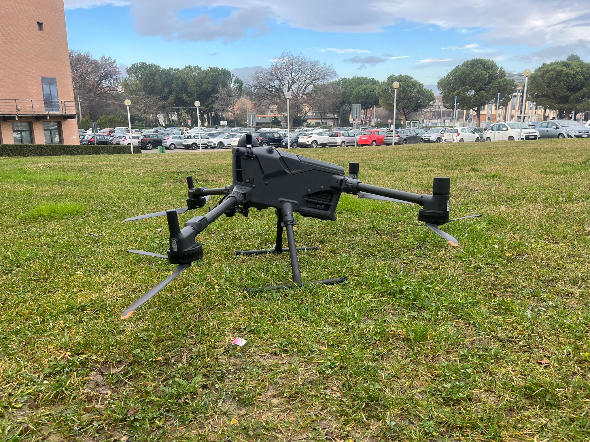
Drone DJI – Matrice 400
UAV professionale per rilievi aerofotogrammetrici, monitoraggio territoriale e acquisizione dati ad alta precisione; equipaggiata con sistemi avanzati di navigazione RTK e capacità di trasporto multi-sensore.
Infrastructure and instrumentation of the DEFENS research group.
The DEFENS project laboratory hosts advanced instrumentation for geological, topographic, morphological, geophysical and geochemical analysis applied to the study of seismogenic fault systems. Experimental activities integrate field data with high-resolution analyses conducted in a controlled environment.
The facility is open to collaboration with national and international researchers, PhD students and Master's students within the framework of institutional agreements with the University of Chieti-Pescara G. d'Annunzio.
The main equipment available at the DEFENS laboratory
UAV professionale per rilievi aerofotogrammetrici, monitoraggio territoriale e acquisizione dati ad alta precisione; equipaggiata con sistemi avanzati di navigazione RTK e capacità di trasporto multi-sensore.
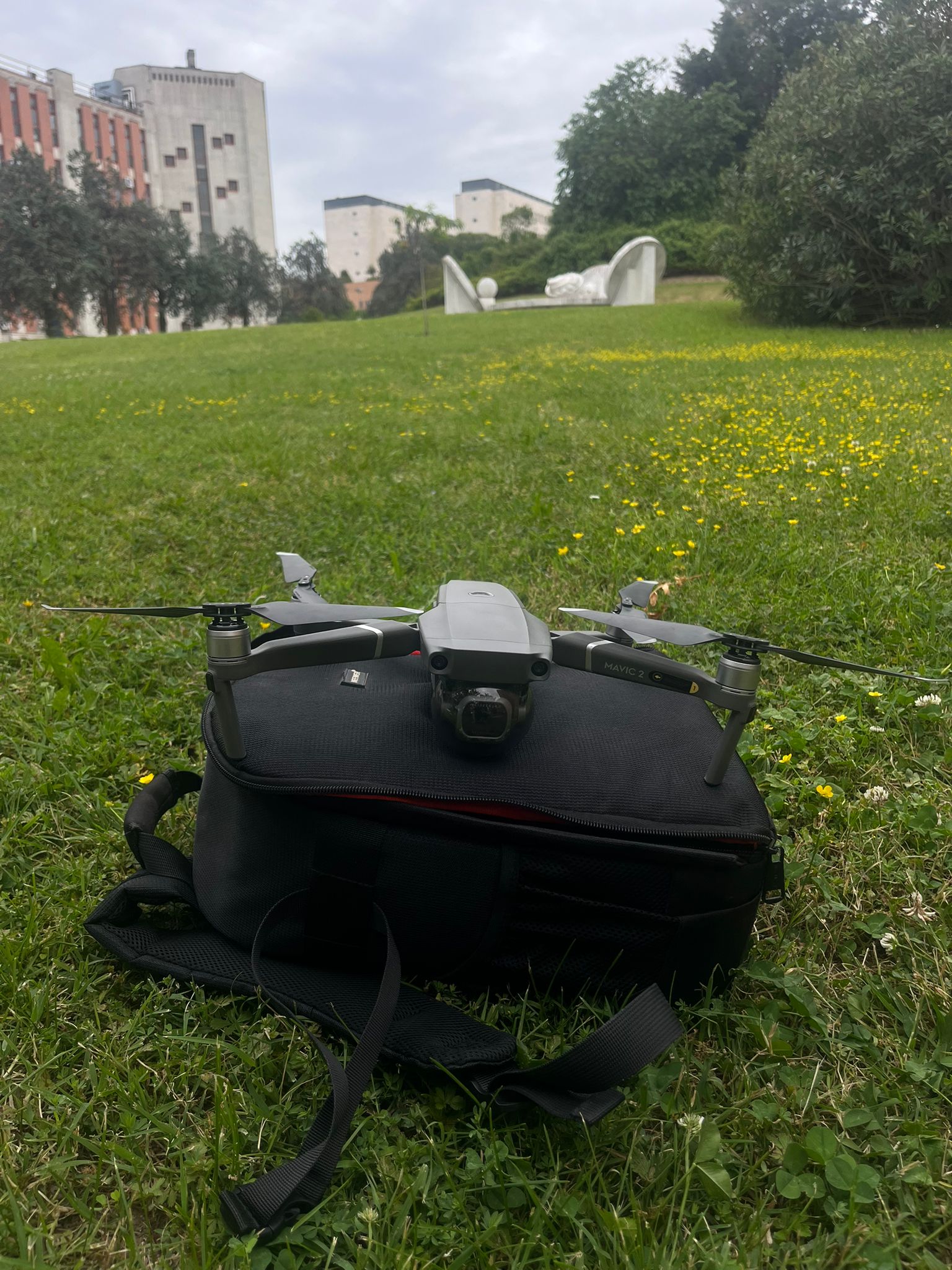
Compact UAV for geological photogrammetric surveys — orthophotos, DTM/DSM and landslide monitoring at centimetre accuracy.
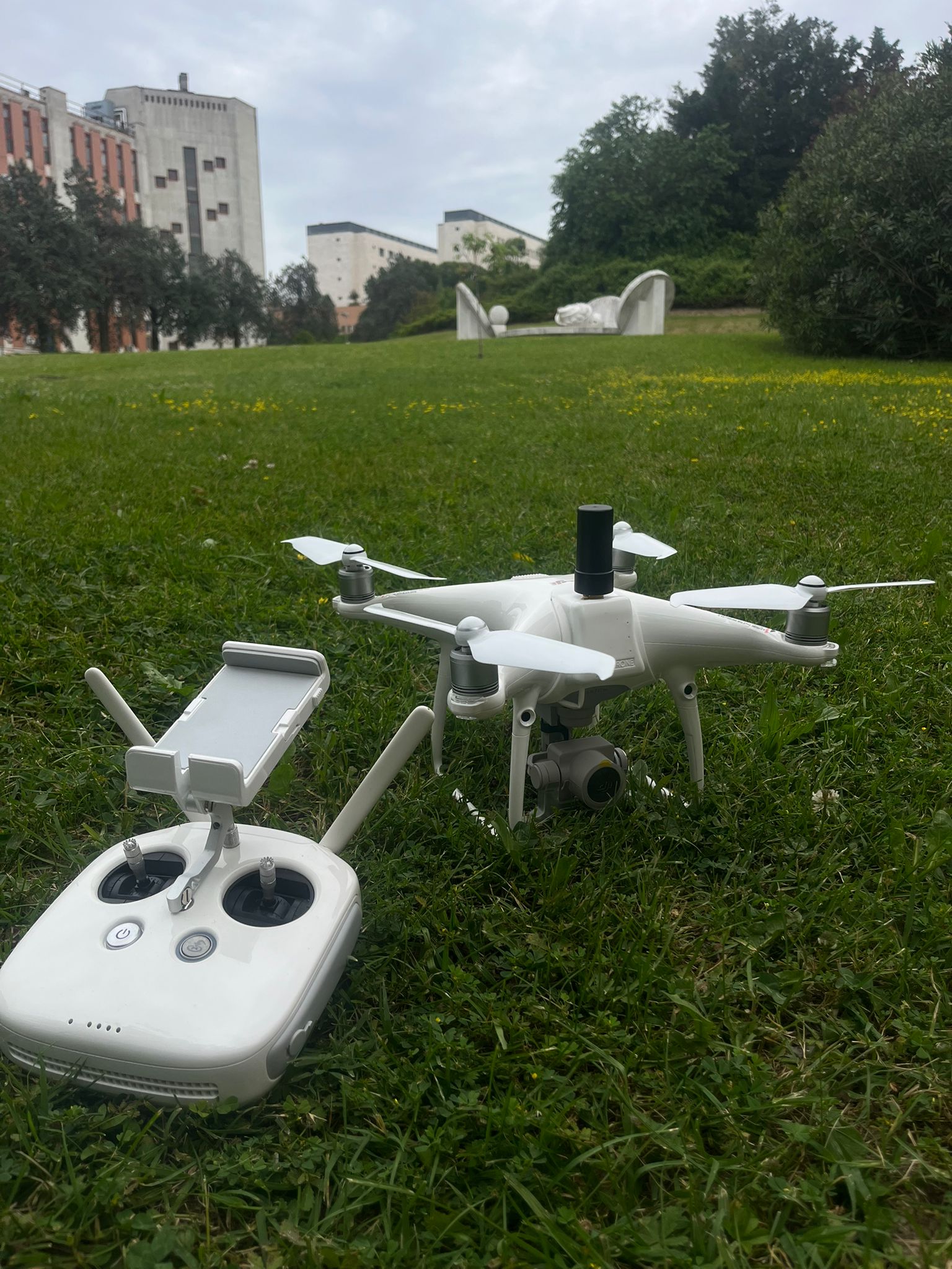
Fixed-frame UAV for high-altitude geological surveys — RGB/multispectral sensors, SfM photogrammetry and large-area geomorphological mapping.
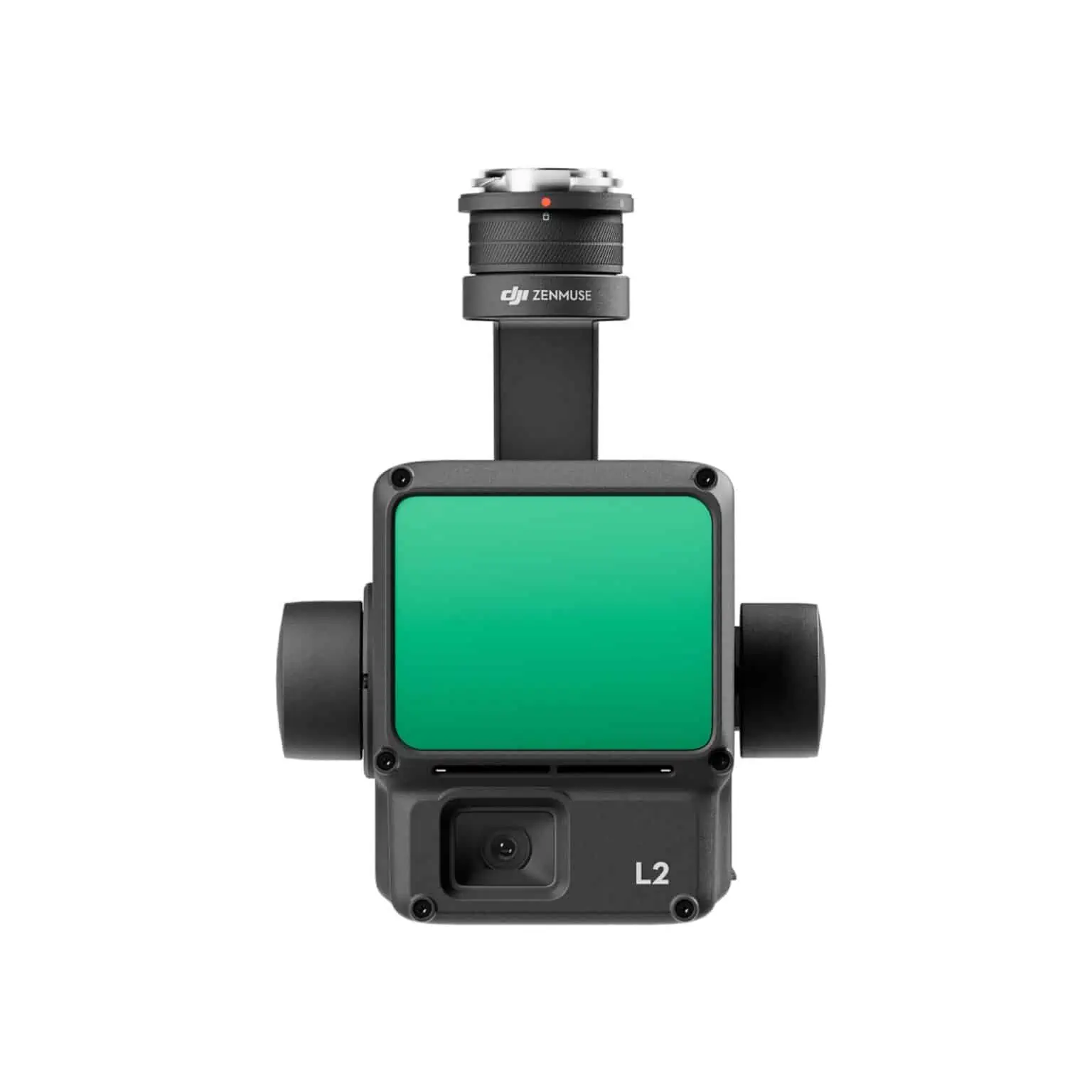
Airborne LiDAR sensor for geological survey — high-density 3D point cloud, high-resolution DTM/DSM and terrain structural analysis.
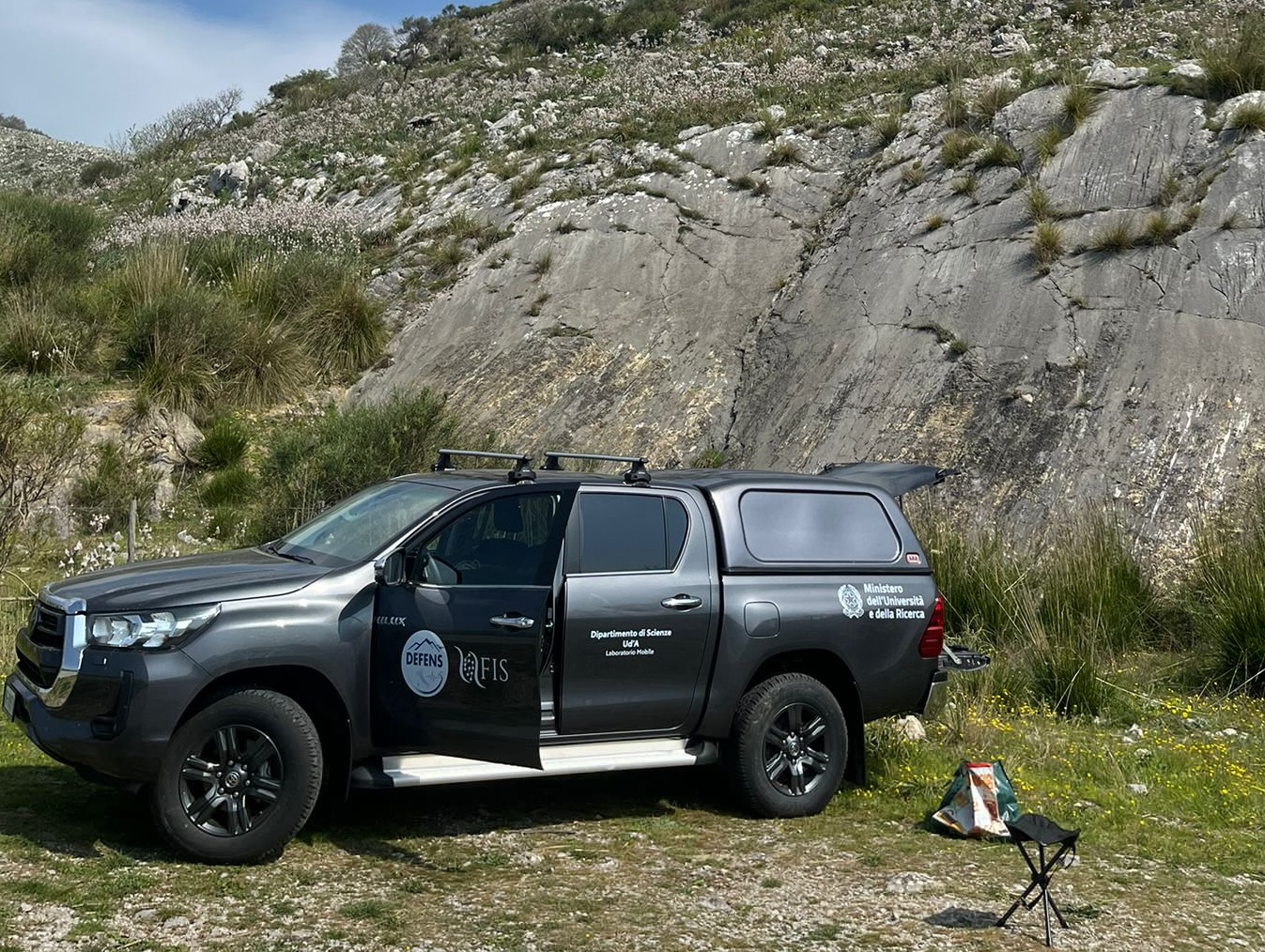
Suv 4×4 configured as a mobile laboratory — logistical support for geological field surveys in remote and difficult terrain.